A different look at forage budgeting
21 May 2020
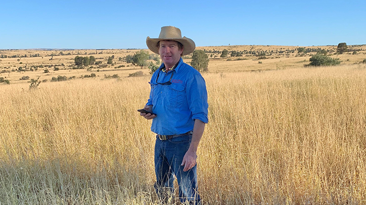 Queensland beef producer Anthony Dunn ground-truthing the satellite measurements with paddock measurements. Image: the Dunn family.
Key points:
- Satellite imagery is an additional tool to support accurate forage budgeting.
- Map property and paddock boundaries first to make the satellite forage budgeting process easier.
- Forage budgeting doesn’t just improve pasture use – it also helps avoid overgrazing.
The COVID-19 isolation period may have given some people spare time for new hobbies, but for Queensland beef producers Anthony and Anna Dunn, it was all hands on deck preparing their 2020 forage budgets.
It’s only the second season the Dunns have incorporated satellite imagery and data to support forage budgeting on the Roma property they manage, ‘Echo Hills’, so ground-truthing the system was their top priority.
Anthony, Anna and their two daughters turned a break from home schooling into a session in the paddock, armed with a quadrat, scales and the Cibo Labs app on the phone to measure, weigh and record five pasture quadrants for each pre-determined satellite location.
"Enthusiasm began to wear off by lunch time but I think we all learnt a lot," Anthony said.
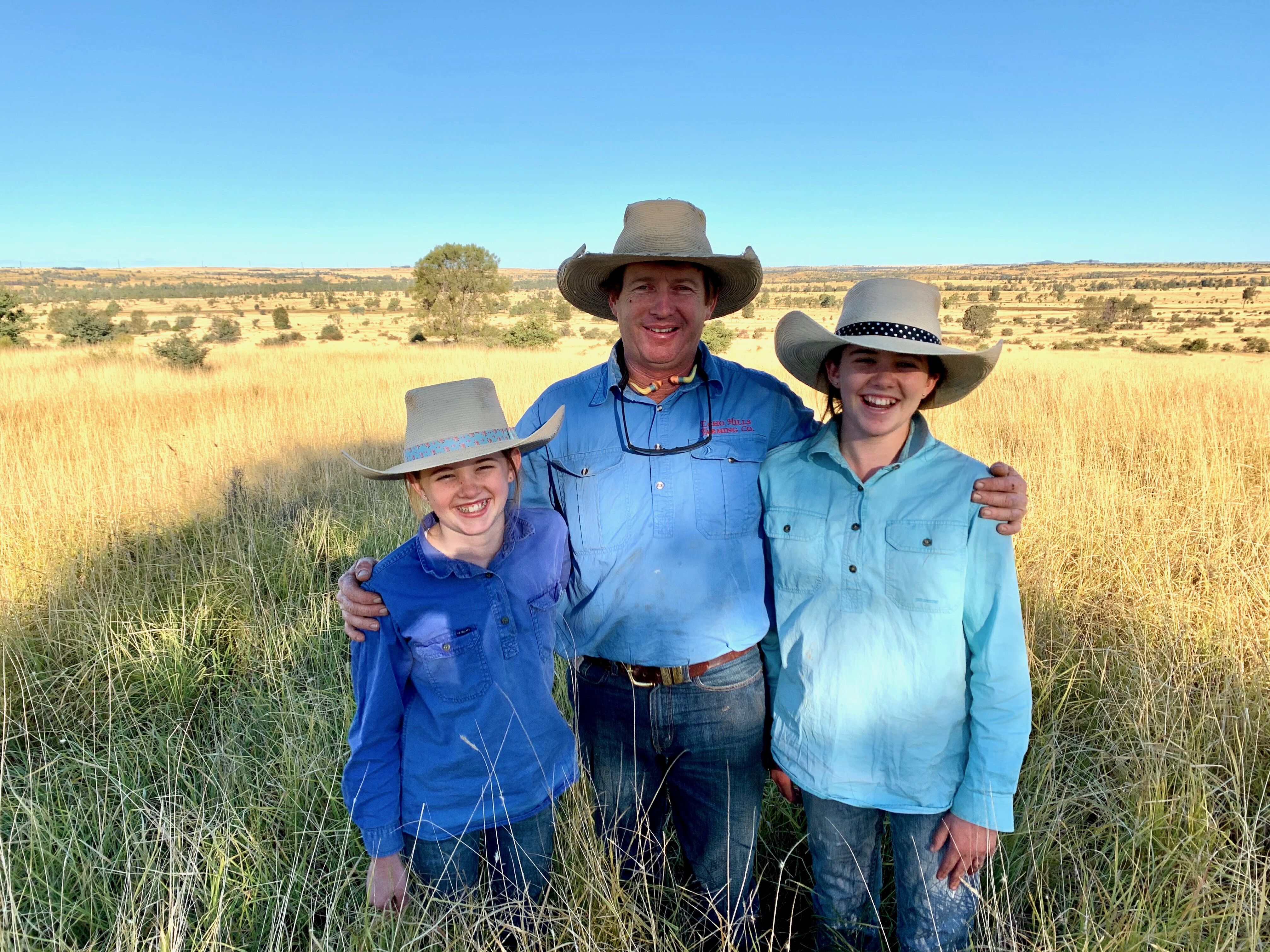 Anthony Dunn and his daughters, Eve, 13, and Alice, 11, out in the paddock trying pasture measurements. Image: the Dunn family
Forage measurement and budgeting has been a lifetime practice for the property’s owner, Peter Thompson and his family.
For decades, it’s been routine practice to develop spreadsheets to record and forecast crop and pasture growth and rainfall events.
When Anthony joined the business 10 years ago, he embraced the system. More recently, consultant Col Paton was employed to help develop more detailed forage budgets.
Traditionally, in autumn they would use visual and physical assessments supported by historic data to establish dry season feed budgets through to late spring.
In mid-2019, they started using the Cibo Labs satellite imagery to support this decision making.
"It was the driest period in the property's history and we felt it was a great time to start with baseline and get to better understand how much groundcover we need to retain to get the optimal gain when rain returns and to see just how quickly it does grow,” Anthony said.

Eve and Alice Dunn learning about pasture measurements during the recent social isolation. Image: the Dunn family
Fine-tuning the system
While Anthony feels satellite imagery already paints a good picture, adding data from pasture measurements during the development phase will only make it stronger and more accurate.
"It doesn't replace what you already do with your eyes, but it adds an objective element,” he said.
“Our main motivation was to use the best tools to help us manage climate variability while remaining productive and sustainable.”
One of the other gains from satellite assisted forage budgeting for Anthony is the ability to create a robust, repeatable budgeting procedure which can be easily used by other staff members, including new employees.
The next steps in the evolution of the forage budgeting system at Echo Hills is automating rainfall data collection (currently collected at 15 gauges across two properties) and applying the budgeting to other feed sources such as forage oats and leucaena.
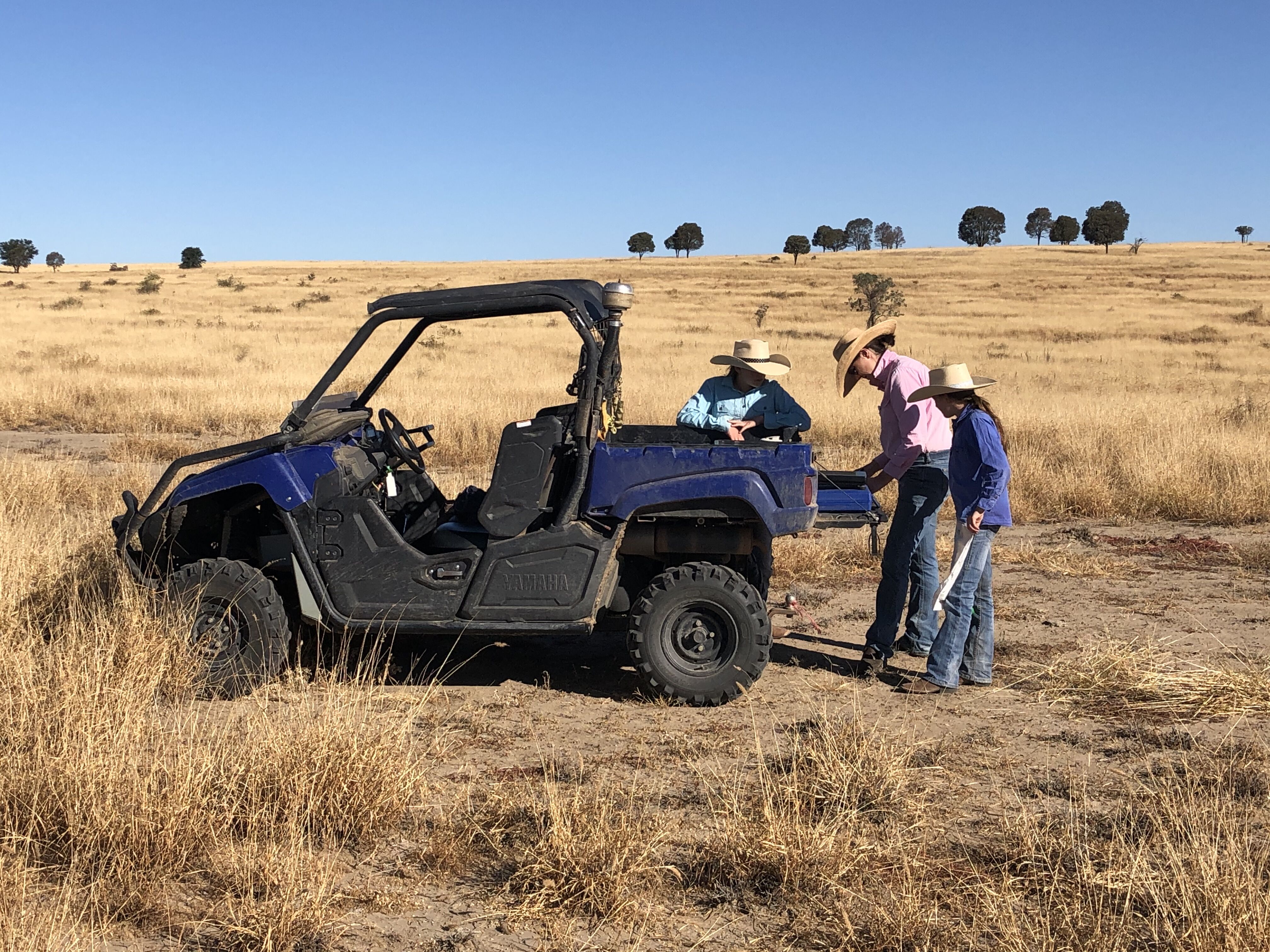
Anna Dunn and her daughters, Eve, 13, and Alice,11, with their mobile pasture weighing station. Image: the Dunn Family
Producer training
Producers can access a new training package, Satellite Assisted Forage Budgeting, through MLA's Profitable Grazing Systems (PGS) program.
The training is delivered by rangeland management advisor Col Paton and agricultural remote sensing specialist Phil Tickle.
Participants will learn:
- skills to reliably estimate and record pasture yields
- how to combine paddock observations with satellite imagery to get precise paddock-scale feed estimates
- the process of how to develop paddock-scale forage budgets and assess how many livestock can be safely carried each season.
"I'd urge other producers to join the training with Col and Phil,” Anthony said.
“It's become really simple to understand and if you can use an app you can easily manage using the satellite imagery.”
The training package also includes a 12-month satellite imagery subscription for participating properties (up to the value of $1,000/property).