Working with an eye in the sky
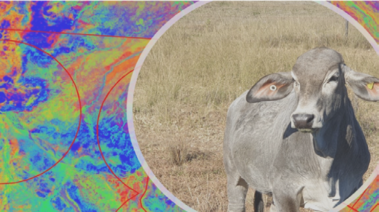
Using satellite imagery to look at pastures offers northern cattle producers more than just an accurate measurement of biomass.
Two experts in this field – rangeland management advisor Col Paton and agricultural remote sensing specialist Phil Tickle – have developed a tool for producers for more accurate and efficient forage budgeting.
The new training package, ‘Satellite Assisted Forage Budgeting’, is delivered through MLA's Profitable Grazing Systems (PGS) producer training platform. Participants will be coached by Col and Phil during five sessions.
"Using images from a satellite, calibrated to your property, gives you more accurate information on pasture yield variability and changes in the types of groundcover as the season progresses," Col said.
Why use satellite forage budgeting?
While a simple forage budget takes pasture data and determines how long the feed on offer will last with current stock numbers, satellite imagery takes forecasting to the next level.
"Combining local knowledge, simple mobile apps and satellite imagery will significantly reduce the time required to gather field data for undertaking pasture budgets and improve decision making," Phil said.
Satellite assisted forage budgeting offers three major benefits:
1. Improved planning. Pasture yields and quality can change rapidly and vary across paddocks. Satellite imagery picks up those changes, providing updates every five days with real-time information on how much feed is in each paddock rather than a prediction based on growth from previous years. Sustainable stock numbers can be determined at the end of the growing season which reduces the risk of feed shortages. Monitoring pasture status and groundcover weekly through the dry season supports early decision making if conditions change.
2. Greater consistency and accuracy. Once calibrated, the satellite imagery accurately quantifies the spatial variability of pasture yields and feed in paddocks with less time spent ground-truthing. Calibrating requires collecting manual yield cuts and estimations from the paddock which are then used to improve the accuracy of predictions from the satellite imagery. By targeting on-ground pasture assessments you can save time and be confident the satellite is picking up precisely what is in the paddock. Station staff can change each year but the data from the imagery is consistent.
3. More efficient use of time. Users can assess information on paddocks even when they can’t access the whole paddock. For example, managers can do end-of-growing season forage budgets and plan the year’s stock allocation in paddocks before mustering begins. They can book trucks, develop supplementary feeding programs and plan dry season work reliably in advance.
By participating in Satellite Assisted Forage Budgeting, producers will learn:
- skills to reliably estimate and record pasture yields
- how to combine paddock observations with satellite imagery to get precise paddock-scale feed estimates
- how to develop paddock-scale forage budgets and assess how many livestock can be safely carried each season.
The training package also includes a 12-month satellite imagery subscription for participating properties (up to the value of $1,000/property).